


See the wider setting
An aerial view gives the land a geographical context.

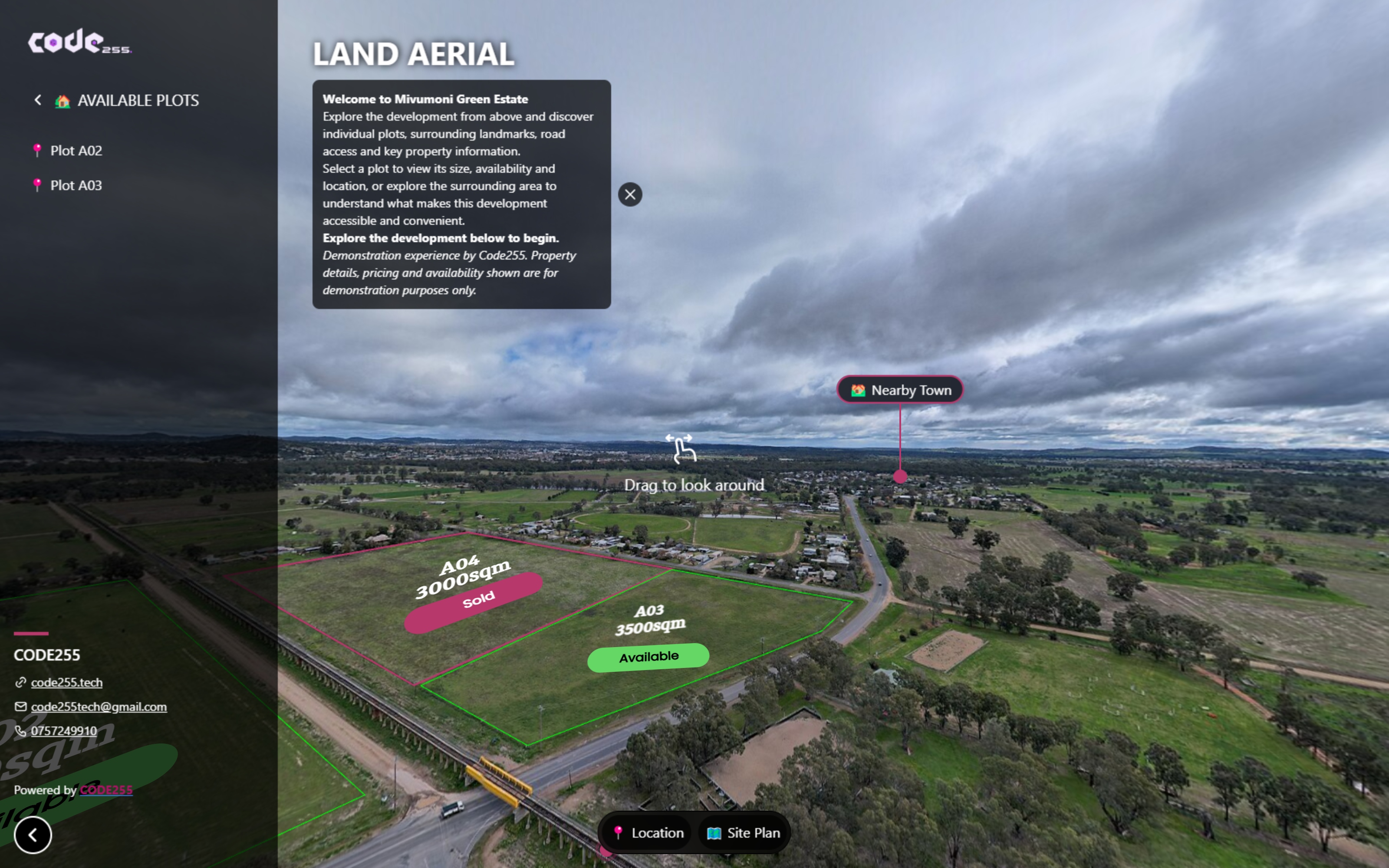
Portfolio / Real estate demonstration
An immersive demonstration that connects aerial exploration with plotted land information and surrounding geographical context.
This is a real estate demonstration of the experience format, not a claim of a delivered land-development project.
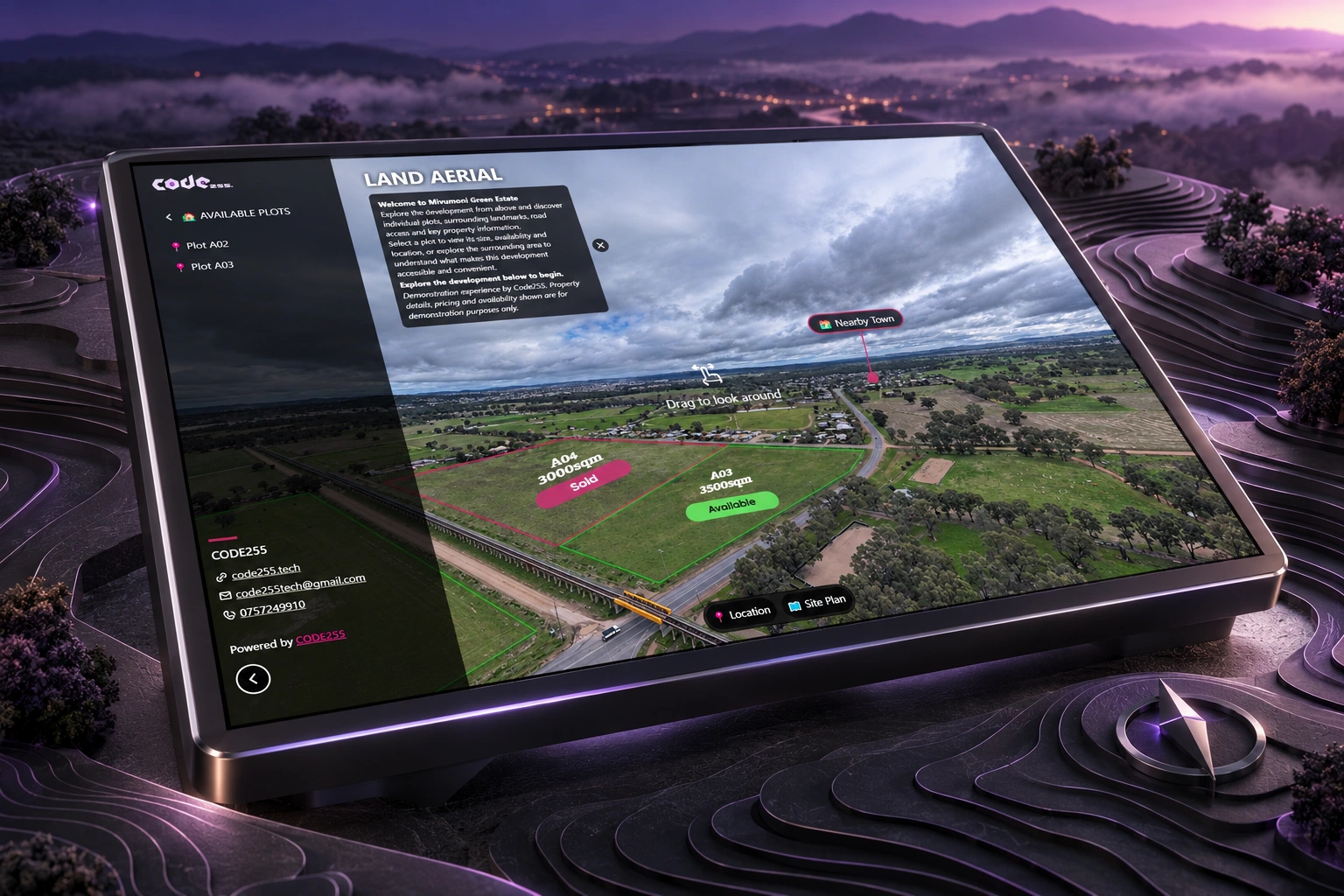
About the project
An immersive demonstration that connects aerial exploration with plotted land information and surrounding geographical context.
An aerial view gives the land a geographical context.
Connect visual exploration with information about the plots.
A demonstration of how this format can present a land project.
Explore the demonstration
Open the live link to navigate the space and discover the information within it.
 360°
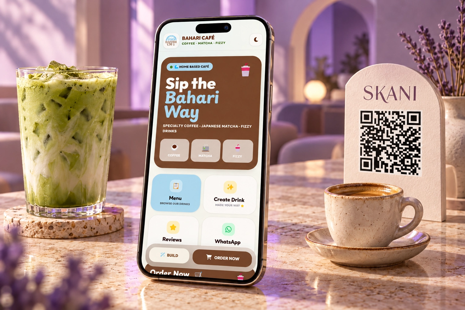
Tell us what your business needs. We’ll help define the right direction and a clear project scope.